Route 66: Roadway to the West
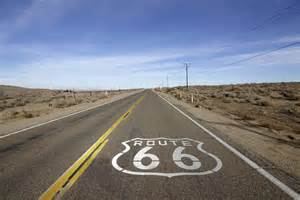
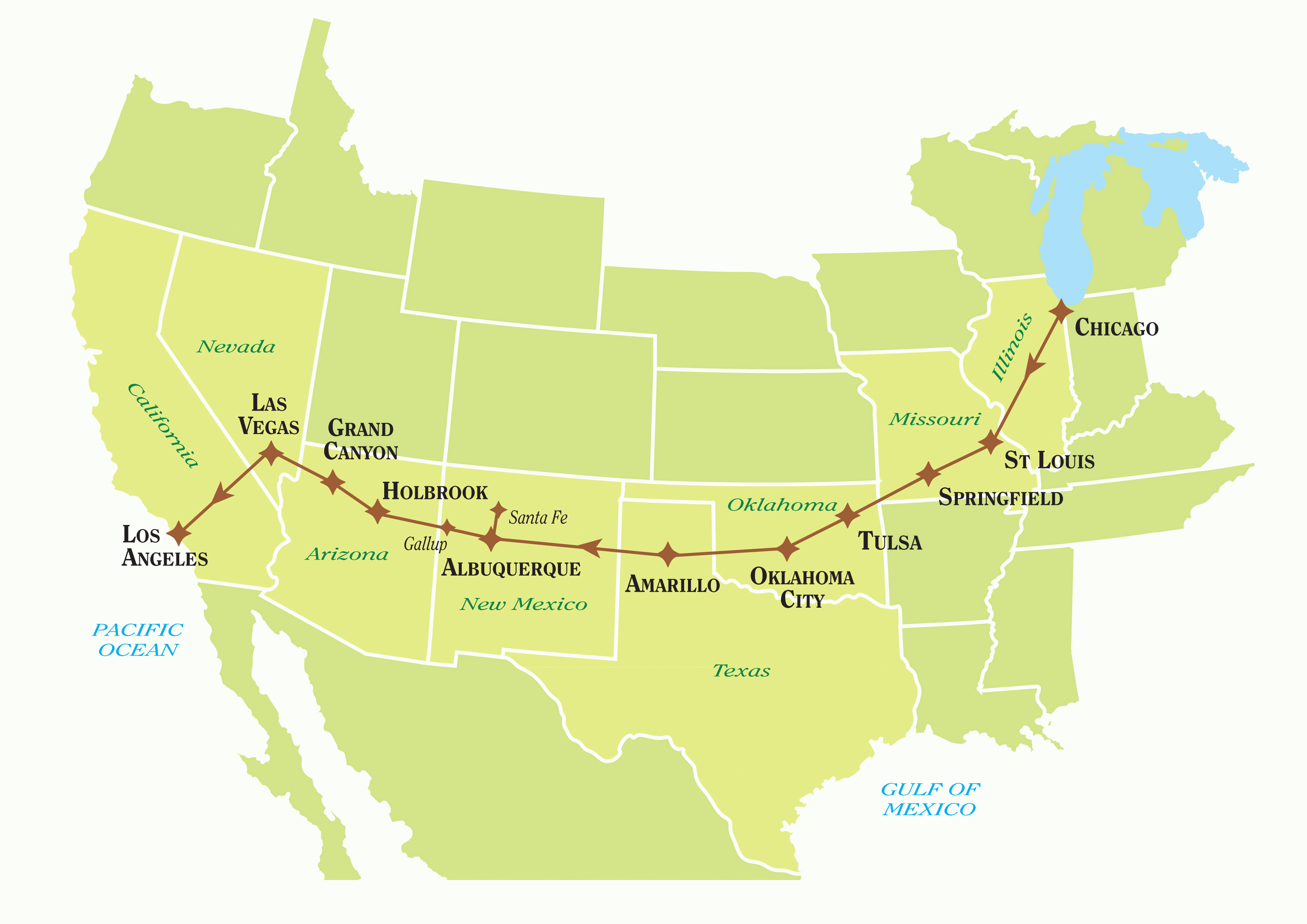
Route 66 is an iconic east-west highway that connects Chicago to Santa Monica, Calif., and traces the development of the United States. Begun in 1926, the 2,448-mile network of paved roads was a main artery of motorized movement of people and goods for several decades, until being replaced by the interstate highway system. Today, Route 66 exists as a curiosity, a set of tourist destinations, and a reminder of how America grew.
The eight states eventually paved all of the roads that made up Route 66 (finishing in 1937), and hundreds of thousands of Midwesterners followed the route as they fled the ravages of the Dust Bowl. John Steinbeck, in his novel The Grapes of Wrath, refers to Route 66 as "The Mother Road." To facilitate the increase in traffic, cities and towns along the route opened or expanded diners, gas stations, motels, and tourist attractions. The U.S. entered World War II in 1941, and scarcity of automobiles, gasoline, and even tires resulted in a severe drop in nonessential traffic along Route 66. In fact, military traffic increased along the route, in the form of troops themselves and of people migrating westward to work in the war industry. This resulted in some relief from the stark drop in commercial traffic. After the war ended, Americans more than ever before embarked on a campaign to see the country. Businesses along Route 66 benefited from this boom for a decade or so, until the construction of the interstate highway system. Ironically, it was the Turner Turnpike, in 1953, that began the decline of Route 66, bypassing 100 miles of the "Mother Road" with a faster, slicker I-44 between Oklahoma City and Tulsa (Cyrus Avery's hometown). Five interstate highways, I-10, I-15, I-40, I-44, and I-55 became the thoroughfares for east-west traffic, with Route 66 roads either bypassed or replaced (literally). The process was gradual at first and then accelerated, with the final decommissioning of the legendary Route in 1985. In its place has sprung up a series of nostalgic snapshots, as museums commemorating the Route have sprung up and road bridges turned into bicycle and pedestrian bridges. Where once stood Route 66 signs now stand Historic Route 66 signs (although some of these keep having to be replaced, presumably because of the "borrowing" habits of collectors).
Route 66: facts and figures
|
|
Social Studies for Kids
copyright 2002–2026
David White


 Route 66 was the brainchild of a few people, most notably Cyrus Avery of Tulsa, Okla., and John T. Woodruff of Springfield, Mo. The idea was to create a paved route from the middle of the country to the West coast. When it opened, on November 11, 1926, the plan for Route 66 was for it to run through (from east to west) Illinois, Missouri, Kansas, Oklahoma, Texas, New Mexico, Arizona, and California.
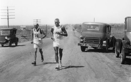
  The efforts of Avery and Woodruff resulted in the U.S. Highway 66 Association, which devised several methods of publicity over the years, starting with the "Bunion Derby," a 1928 running race that traced Route 66 backward, from west to east. (The preferred way to think about Route 66 was from east to west, not vice versa.) A group of runners set out from Los Angeles to run the 2,448 miles to Chicago and then carry on the width of the country. The race ended in New York's Madison Square Garden, and the winner was a Cherokee, Andy Payne, who pocketed $25,000 for his efforts. (For the record, the 20-year-old Payne completed the 84-day, 3,422-mile journey by running for 573 hours, 4 minutes, and 34 seconds.)

